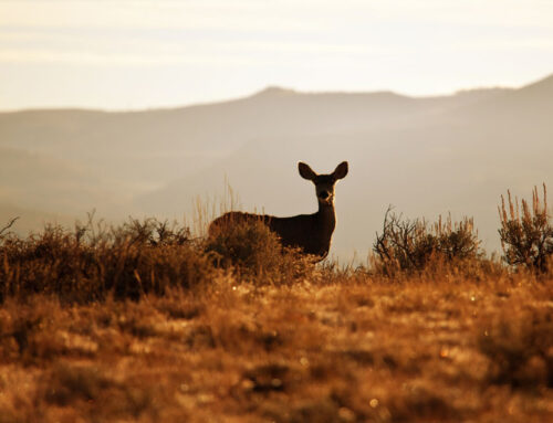


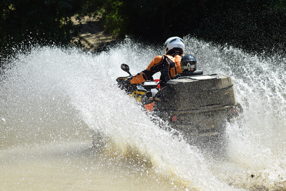
Rio Grande County has about 600+ miles of multi-use ATV/UTV trails and roads 8,200 ft to 12,000 ft. Be safe and courteous on the trail and ALWAYS consult weather conditions, never go alone, make sure family members, friends or lodge owners know your location. There is no shortage of ATV/UTV fun here. Start your engines! Multi Use Trail Map
Silver Thread Outdoor Club 719.873.5429. Clubs sponsor group rides throughout the season and love newcomers and visitors to the area to join them. Please contact them for more info. Rides meet at the South Fork Visitor Center.
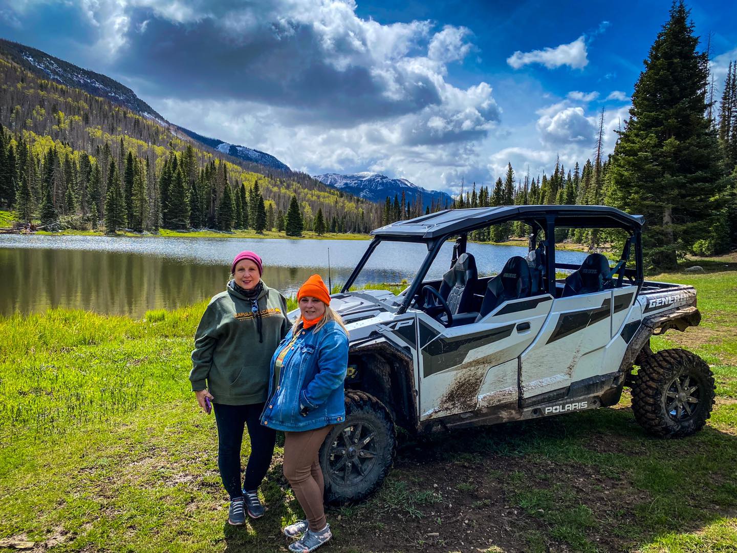
ATV/UTV Rentals
Twin Pines Motorsports
719-873-9873
www.twinpinemotorsports.com
Outdoor Depot
Phone: 719.873.1060
www.outdoordepot.biz
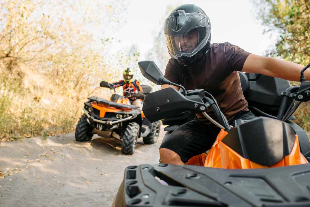
Guided ATV Tours
Mountain Skillz
719-849-3168
www.mountainskillz.com
ATV/UTV Road & Trail Ideas & Information
Willow Park / Del Norte Peak
(Forest Service Rd. #350-345) Elevation: 8,250 – 12,400
From Del Norte Travel west on Hwy 160 for 14 miles -Turn left on FSR 350- (Right beside Tiny Timbers Coffeehouse) – (From South Fork travel East 1.6 miles on Hwy 160) turn right and go 7 miles up FSR 350. Take the right hand fork into Willow Park, approx. 10 miles or take the left hand fork on FSR #345, approx. 3 miles, turn right on FSR #359. Or go straight on FSR #345 at the fork and continue approx. 12-14 miles to Pinos Creek Road #330, turn right here for approx. 1 mile. At the chicken foot turn right on FSR# 332 and continue to Pogue Lake, Beaver Reservoir or back to Willow Park. Parks and valleys are plentiful to play in and at close observation you will possibly see a variety of wildlife. Restroom & picnic tables available. Loops with trail #PB2 Beaver Creek/Cross Creek
Beaver Creek / Cross Creek #812
(Forest Service Rd. #360-359) Elevation: 8,700 – 11,500
From South Fork, CO Travel southwest 1.9 miles on Hwy 160 going toward Wolf Creek Pass turn left on Beaver Creek Road approx. 5 miles to the Reservoir, where by the way, the fishing is excellent. Parking is at the far end of the lake and restrooms are available. Two miles after leaving the parking area go straight approx. 8 miles on FSR #360 to Pogue Lake (fishing) or turn left on FSR #359 to Cross Creek and Willow Park FSR #350. There is a possible 23 mile loop on trail FSR #359.
Park Creek Road/Fox Mountain Road
(Forest Service Rd. #380 to #381 Fox Mountain Road )
Travel seven miles S.W. of South Fork on Hwy 160 west toward Wolf Creek Pass, turn left on Park Creek Road FSR #380 toward Summitville. Watch for heavy equipment and trucks, all year long. Truck & trailer parking at the road or bridge. Ride FSR #380 to USFS #381 towards Fox Mountain approximately Eight miles to the end of the trail at an elevation of 11,530 feet, this is an out and back trip.
Stay on the designated roads. Be prepared for changing weather conditions.
Rio Grande County has about 600+ miles of multi-use ATV/UTV trails and roads 8,200 ft to 12,000 ft. Be safe and courteous on the trail and ALWAYS consult weather conditions, never go alone, make sure family members, friends or lodge owners know your location. There is no shortage of ATV/UTV fun here. Start your engines! Multi Use Trail Map
Silver Thread Outdoor Club 719.873.5429. Clubs sponsor group rides throughout the season and love newcomers and visitors to the area to join them. Please contact them for more info. Rides meet at the South Fork Visitor Center.
ATV/UTV Trail Ideas
Willow Park / Del Norte Peak
(Forest Service Rd. #350-345) Elevation: 8,250 – 12,400
From Del Norte Travel west on Hwy 160 for 14 miles -Turn left on FSR 350- (Right beside Tiny Timbers Coffeehouse) – (From South Fork travel East 1.6 miles on Hwy 160) turn right and go 7 miles up FSR 350. Take the right hand fork into Willow Park, approx. 10 miles or take the left hand fork on FSR #345, approx. 3 miles, turn right on FSR #359. Or go straight on FSR #345 at the fork and continue approx. 12-14 miles to Pinos Creek Road #330, turn right here for approx. 1 mile. At the chicken foot turn right on FSR# 332 and continue to Pogue Lake, Beaver Reservoir or back to Willow Park. Close observation you will possibly see a variety of wildlife. Restroom & picnic tables available. Loops with trail #PB2 Beaver Creek/Cross Creek
Beaver Creek / Cross Creek #812
(Forest Service Rd. #360-359) Elevation: 8,700 – 11,500
From South Fork, CO Travel southwest 1.9 miles on Hwy 160 going toward Wolf Creek Pass turn left on Beaver Creek Road approx. 5 miles to the Reservoir, where by the way, the fishing is excellent. Parking is at the far end of the lake and restrooms are available. Two miles after leaving the parking area go straight approx. 8 miles on FSR #360 to Pogue Lake (fishing) or turn left on FSR #359 to Cross Creek and Willow Park FSR #350. There is a possible 23 mile loop on trail FSR #359.
Park Creek Road/Fox Mountain Road
(Forest Service Rd. #380 to #381 Fox Mountain Road )
Travel seven miles S.W. of South Fork on Hwy 160 west toward Wolf Creek Pass, turn left on Park Creek Road FSR #380 toward Summitville. Watch for heavy equipment and trucks, all year long. Truck & trailer parking at the road or bridge. Ride FSR #380 to USFS #381 towards Fox Mountain approximately Eight miles to the end of the trail at an elevation of 11,530 feet, this is an out and back trip.
Pass Creek Road #390/Tucker Ponds
Road is 13 miles, with Tucker Ponds (fishing) to stop at about 5 miles in. After that the remaining 8 miles has side hills and is a steep winding areas. Multi-Use Road Elevation: 9,200 – 11,380 ft. Beautiful meadows and Pass Creek is nearby on some parts. Dispersed camping in some areas too.
Seepage Creek Road to Ghost Lake UFSR #509
Experience this 6.5-mile out-and-back trail near Creede, Colorado. Generally considered a moderately challenging route, it takes an average of 3 hours to complete. This trail is great for ATV/UTV birding, hiking, and mountain biking, and it’s unlikely you’ll encounter many other people while exploring. The best times to visit this trail are April through November. Dogs are welcome and may be off-leash in some areas. As always this is a multi-use trail. Watch for hikers and bikers along to route. Be prepared for weather changes with rain gear, water and food. Let someone know where you are going. This trail follows Seepage creek part of the time and has 2 lovely small lakes to enjoy.
Photo Courtesy of AllTrails.com
Del Norte-Pinos Creek Rd- CR14 to FS 330/329
Travel one block west of Del Norte and turn left onto CR14. Depending on parking you may unload at the FS gate or trailer up 2 more miles to Elk Park. Follow trail for 6 miles to a 3 way junction, referred to as the chickens foot. Take the road to the left, FS#329 to reach Blowout Pass, and up to Bennett Peak. Take the road to the right FS#332 west toward Crystal Lake & South Fork depending on your excursion time you can also meet up with FS#359 & FS#360. Check the maps, weather conditions. No matter which way you go beautiful scenery awaits you.
Silver Thread #600 – Pool Table Road/Hanson’s Mill FS #600
Travel on Highway 149 from South Fork towards Creede, CO. 14 miles to the turnoff of FSR#600 Pool Table Road. Parking & unloading is available at the turn off. ATV/UTV on Pool Table Road towards Hanson’s Mill about 9 miles and beyond to Wheeler Geologic Area Trailhead. This road also connects to FSR #612. Return back the same way.
Note: The map below: turn off to Pool Table Road is about 1/4 mile beyond Wagon Wheel Gap.
Shady Creek Trail #898
The Shady Creek trail is 11.4 miles long. Nearby Town Del Norte, CO – County Road 14 and ends at Forest Road #350 in Willow Park. The trail is open for the following uses: Off Highway Vehicles (OHV) less than or equal to 50 inches wide, Motorcycles, Mountain. Bikes, Foot and Horse Travel, No Jeeps.
Directions: From the town of Del Norte, travel southwest on County Road 14 for 13 miles. Turn right and travel west on Forest Service Road #331 . The trail starts right as you drop down into the Pinos Creek bottoms. Rio Grande National Forest Map
Alder Creek Bench Road FS #610
Travel to County road 15/North River Road to FSR #610. Drive to the parking area Alder Bench Station. From there you can travel on FSR #610 to #611 and #612 around to #610.
Silver Thread #600 – Pool Table Road/Hanson’s Mill FS #600
Travel on Highway 149 from South Fork towards Creede, CO. 14 miles to the turnoff of FSR#600 Pool Table Road. Parking & unloading is available at the turn off. ATV/UTV on Pool Table Road towards Hanson’s Mill about 9 miles and beyond to Wheeler Geologic Area Trailhead. This road also connects to FSR #612. Return back the same way.
Note: The map below: turn off to Pool Table Road is about 1/4 mile beyond Wagon Wheel Gap.
Shady Creek Trail #898
The Shady Creek trail is 11.4 miles long. Nearby Town Del Norte, CO – County Road 14 and ends at Forest Road #350 in Willow Park. The trail is open for the following uses: Off Highway Vehicles (OHV) less than or equal to 50 inches wide, Motorcycles, Mountain. Bikes, Foot and Horse Travel, No Jeeps.
Directions: From the town of Del Norte, travel southwest on County Road 14 for 13 miles. Turn right and travel west on Forest Service Road #331 . The trail head starts right as you drop down into the Pinos Creek bottoms. Rio Grande National Forest Map
Alder Creek Bench Road FS #610
Travel to County road 15/North River Road to FSR #610. Drive to the parking area Alder Bench Station. From there you can travel on FSR #610 to #611 and #612 around to #610.